
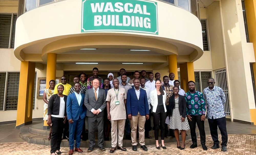
Twenty-seven postgraduate students at Kwame Nkrumah University of Science and Technology (KNUST), Kumasi, are taking part in a three-day training workshop on using satellite and drone technology to conserve biodiversity.
The programme is organised by the WASCAL Climate Change and Land Use Centre in collaboration with the Earth Observation Capacity Building for Africa (EOCap4Africa) project.
The workshop, running from September 23 to 26 at the College of Engineering, introduces students to the fundamentals of remote sensing, a technology that allows scientists to study the Earth’s surface from satellites and aircraft.
Participants, drawn from MPhil and PhD programmes in natural resources, agriculture, planning, engineering and environmental science, are covering core concepts and will visit the Owabi Wildlife Sanctuary for a field session.
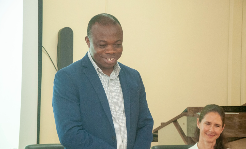
Facilitator, Mr. Da-Costa Boakye Mensah Asare said the course is designed to equip students with both technical knowledge and practical skills, including how to address common challenges with spatial data.
Dean of the Faculty of Civil and Geo-Engineering, Professor Kwaku Amaning Adjei, stressed the urgency of the training, warning that biodiversity loss is affecting Ghana as much as the rest of the world.
“Our forests, wetlands, savannahs and coastlines are home to an extraordinary diversity of life. Yet these ecosystems face threats from illegal mining, climate change and urban expansion,” he said. “Remote sensing offers a powerful lens to observe, understand and protect our ecosystems. From satellite imagery to UAVs, these technologies allow us to track habitats, monitor water quality and assess land cover.”
He added that while Africa often lacks field data, freely available remote sensing information from agencies such as ESA and NASA is helping to close the gap.
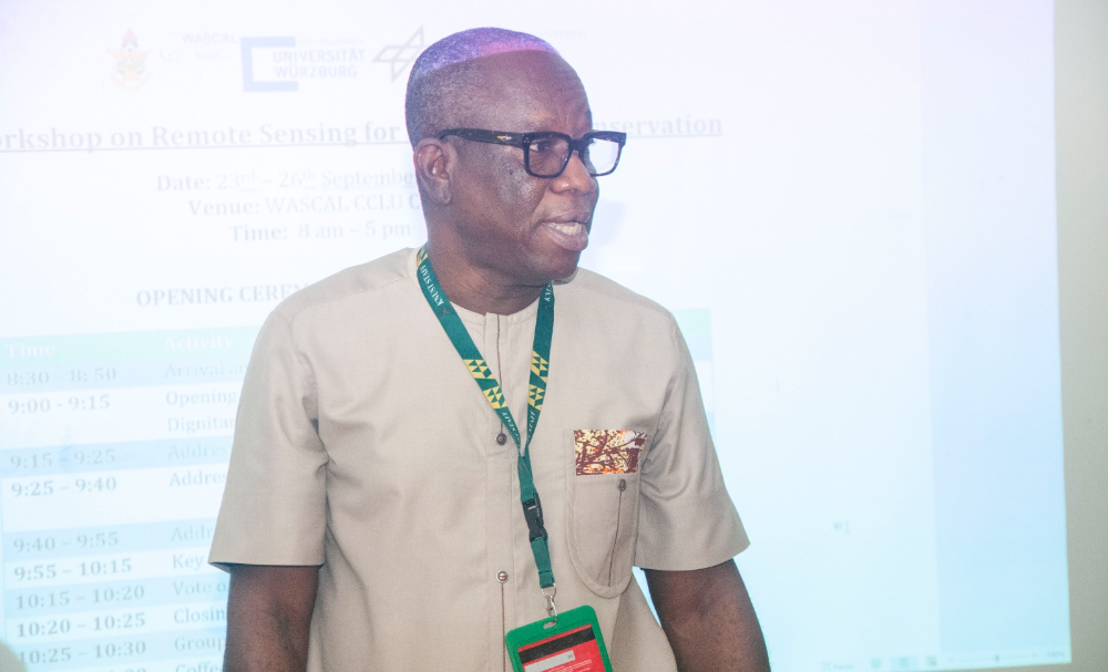
Principal Investigator of the project, Professor Wilson Agyei Agyare, said the tools, particularly useful for monitoring the extent of illegal mining, will help guide policy decisions.
He said the workshop was crucial given the growing challenges in managing natural resources, adding that the best approach was the use of remote sensing data. “We believe this cannot be done by a few people alone, so we must expand the knowledge to enable more professionals to manage natural resources effectively,” he noted.
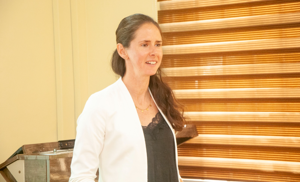
Dr. Insa Otte, EO Cap4Africa Project Coordinator, has warned that biodiversity is under threat, with species vanishing 100 times faster than normal. She said Africa’s ecosystems, vital for food security and livelihoods, face pressures from farming, hunting, pollution and climate change.
Remote sensing, she noted, can help track wildlife and monitor wetlands and coastal areas.
Dr. Insa Otte, said the investment by BfN seeks to strengthen African universities as centres of excellence in biodiversity research.
The German Federal Agency for Nature Conservation (BfN) and the German Environment Ministry (BMUV) fund the project as part of broader efforts to prepare the next generation of researchers to use remote sensing and GIS tools in conserving Africa’s natural resources and supporting evidence-based policymaking.


